-40%
JESUS AND MARIA GOLD, 2 GOLD MINING CLAIMS, CALAVERAS COUNTY, CA
$ 263.47
- Description
- Size Guide
Description
Jesus and Maria Gold, 2 Gold Mining Claims, Calaveras County, CAItem Description
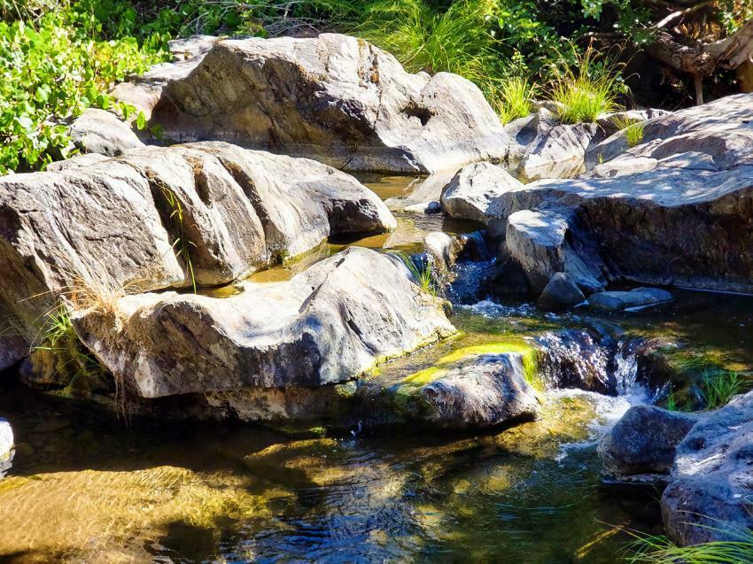
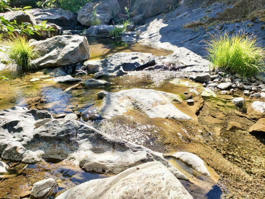
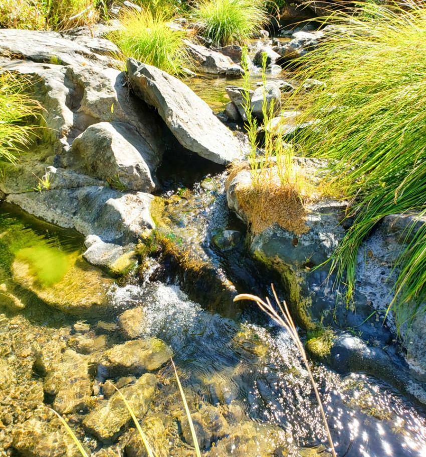
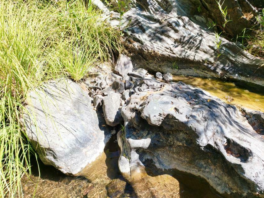
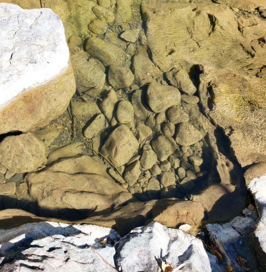
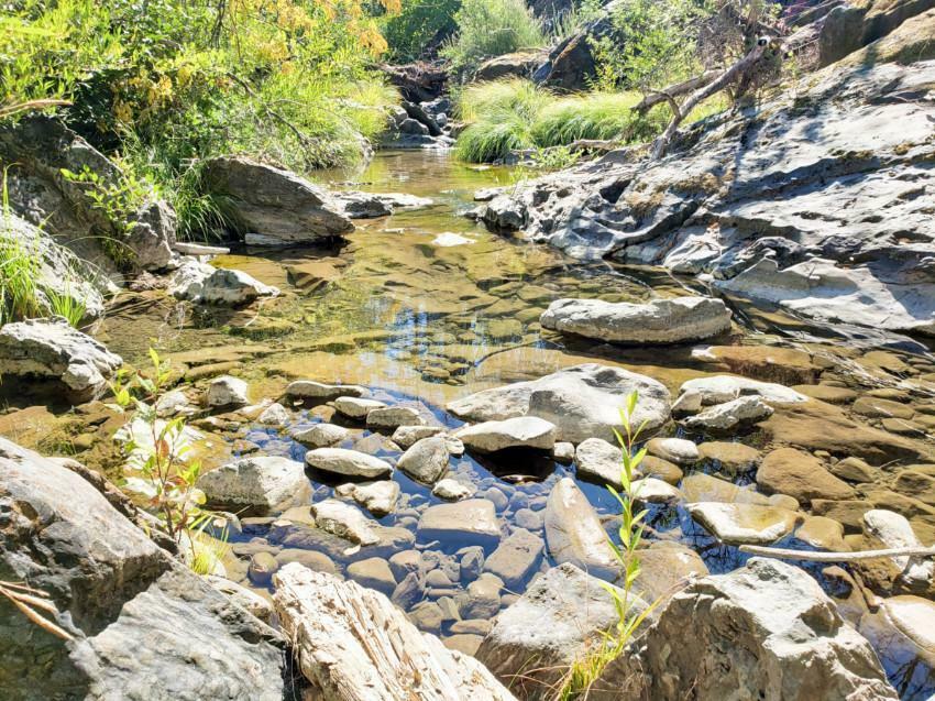
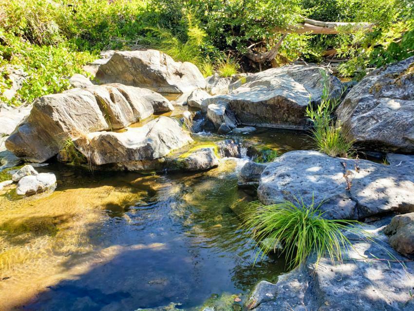
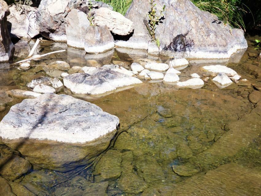
Tons of exposed bedrock and Gold traps!
GENERAL CLAIM DESCRIPTION
Meeting of the Mines is proud to offer
"
The Jesus and Maria Placer Mines".
The
Jesus and Maria Placer Mines
are two(2) 20-acre placer claims located in one of the most productive mining districts in the Sierra Nevada east gold belt, the
Rich Gulch Mining District.
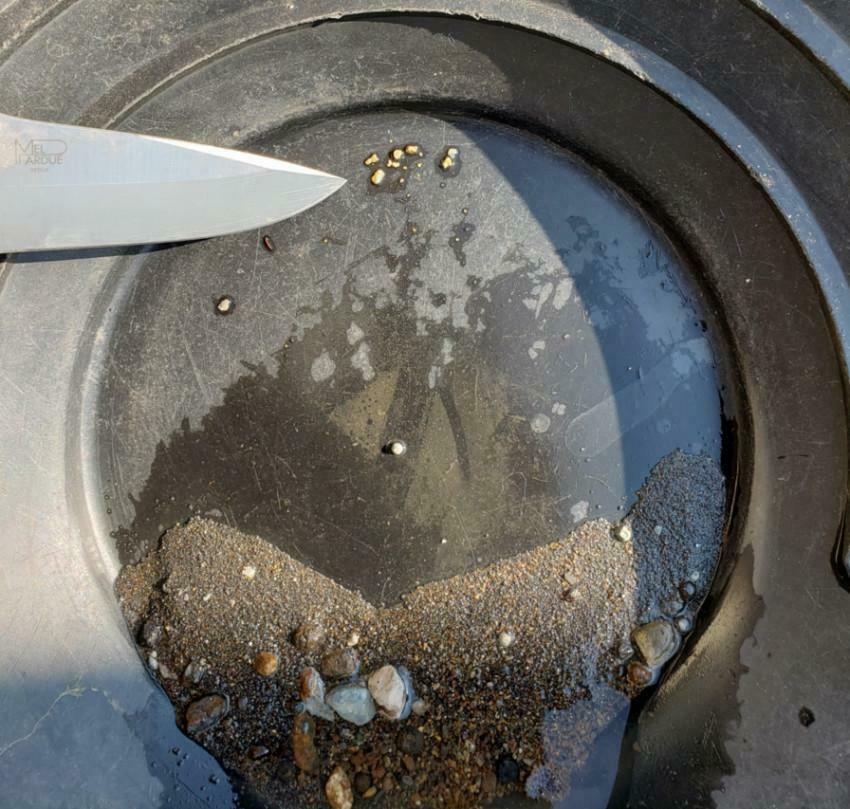
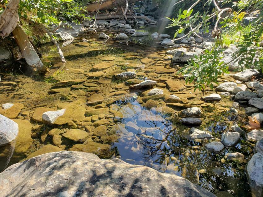
The 2 claims are located on the Jesus Maria Creek, which is a tributary to the North Fork of the Calaveras River. The Jesus Maria Creek is known for its big gold amongst the locals and claims are on this Creek are very hard to come by. Jesus Maria has year around water, even after 2 years of drought. The report below gives this Mining District the highest rating for finding untouched virgin Gold! The photo above is the gold I got from sampling the claim.
Nugget trap!
The chances of finding gold on the Jesus and
Maria claims are phenomenal. Quiet and very secluded, this is the perfect place for the outlaw gold miner with a 2 or 3 inch dredge.
According to the Mineral Land Classification of the Camino and the Mokelumne Hill 15-Minute Quadrangles of El Dorado, Amador, and Calaveras Counties, California, 1987
,
(Department of Conversation, Division of Mines and Geology) with 4 different classifications, the
Rich Gulch Mining District
was given the
highest rating
MRZ-3a, which says MRZ-3a are considered to have a moderate to
high potential for the discovery of economic mineral deposits, which means there is a lot of GOLD left to be found in this mining district.
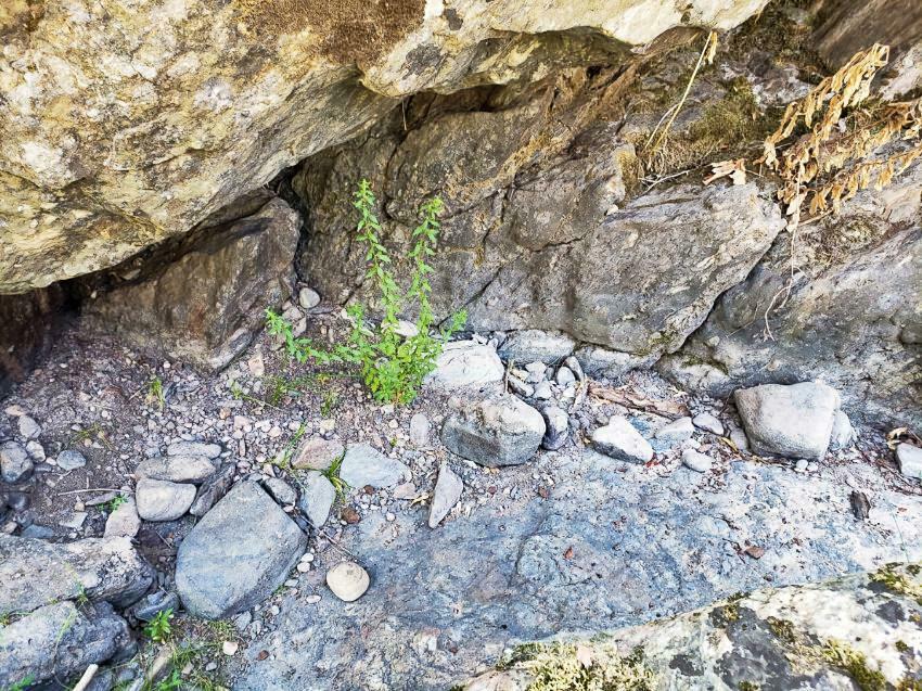
Virgin Cracks!
The drawback to these claims is the ruts, potholes, downed trees, and overgrown vegetation enroute to the claims. The
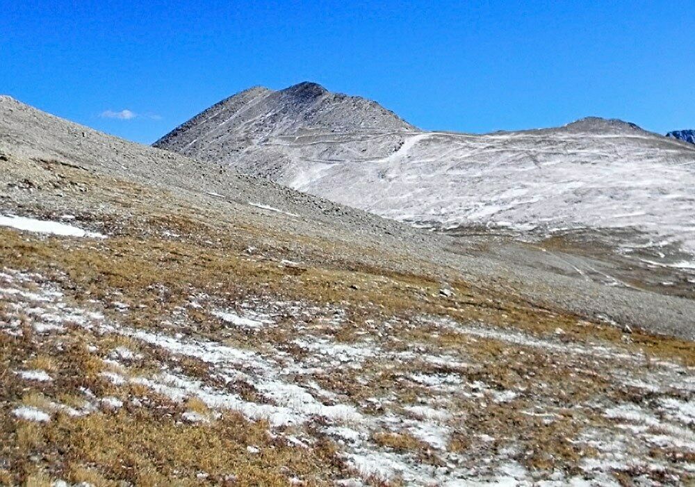
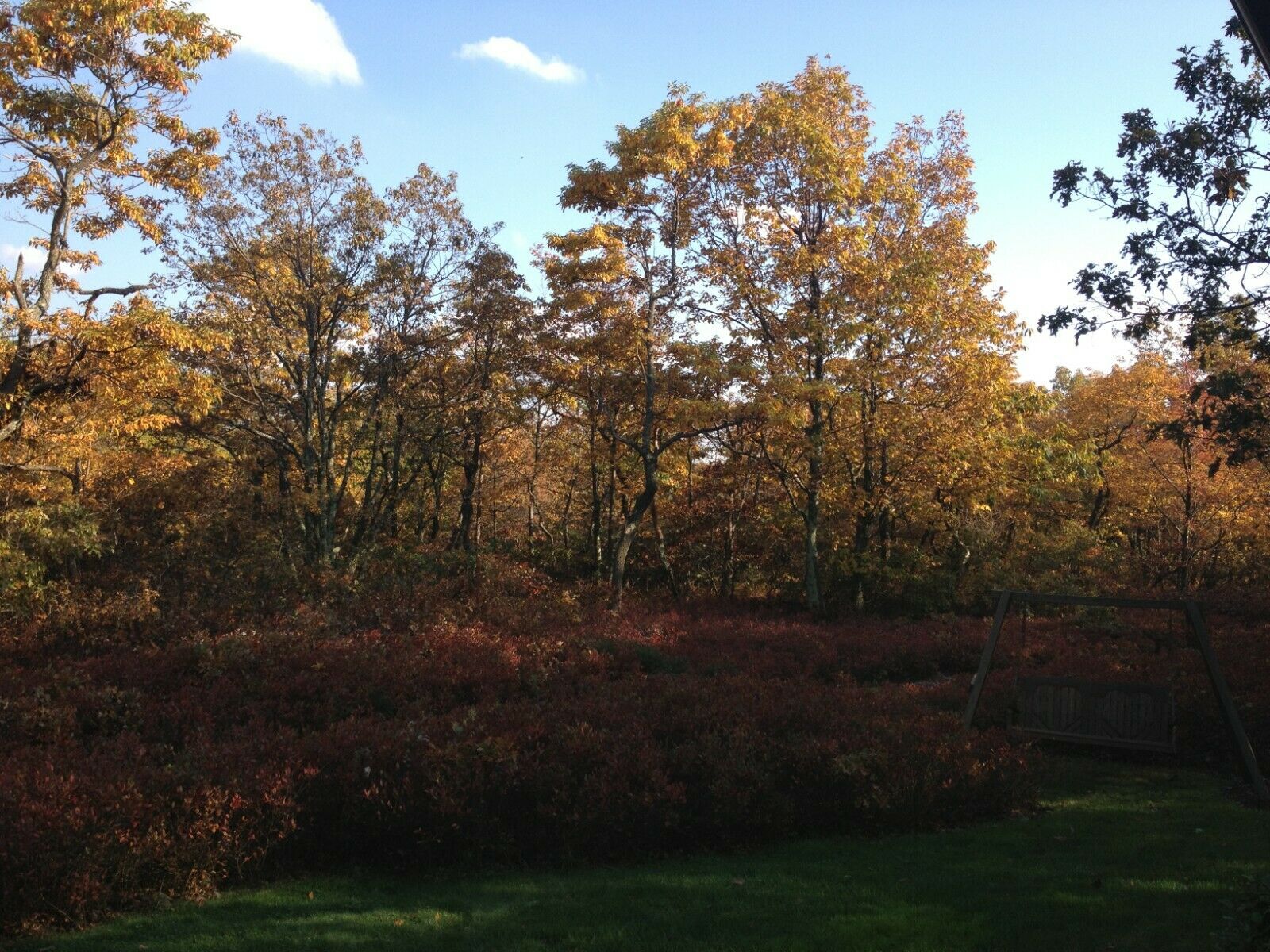
road is decent for a short distance to the claims down Ponderosa Way, but you will need 4-wheel drive at a certain point. There is several downed trees and overgrown vegetation on this portion of Ponderosa Way. There will be a visible BLM sign, as shown below, at which point you will have to walk....unless the road is cleared and if you have an atv type vehicle or dirt bike. The old mining trail shown on the maps is approx. 1/4 of a mile from where you can no longer drive a vehicle. The old mining trail to the claims is approx. 1/2 of a mile. The trail is a decent size old mining road, but is also has downed trees and overgrown vegetation. With some work hard work and determination it could be cleared. I have provided several photos above to show what I am talking about.
Though, there is the drawback of getting to the claims,
the report done in 1987 on the Rich Gulch area, should tell you enought about the gold in this area to get you excited!
So, whether you're a part-time prospector, full time gold miner, or dedicated metal detectorist, there has never been a better time to get involved in the modern-day Gold Rush! Not only is gold mining a hobby and or a full-time job that can pay you back, it's an activity the entire family can enjoy together in the great outdoors.
Perhaps one of the best benefits of gold prospecting, gold mining, and or metal detecting is that with the price of gold today, you don't have to find much to completely pay for your claim and equipment-- and the rest is pure profit!
With GOLD prices starting to move steadily upward, there is no better time to own a gold claim!
Mining claims are mineral rights to Government land and the rights to extract precious metals. They are considered real property and can be bought, sold, leased, willed, transferred and etc., with that being said they have
tremendous resale value
.
Check out August 2020 and November 2019 back issue of ICMJ's Prospecting and Mining Journal, Nov. 2019 is us on the cover with a feature on our Hard Rock operation and August 2020 is a fantastic follow up on our progress! Photo of magazines below.
Jesus Maria, circa 1900
Rich Gulch Mining District, East Belt, Calaveras County, California
Location, History, Geology, Ore Deposits, Mines
Location:
Rich Gulch is in north-central Calaveras County adjacent to the Mokelumne Hill district on the east, and west of the West Point and Railroad Fiat districts. It includes the Jesus Maria area.
Geology and Ore Deposits:
The area is underlain by graphite schist, quartzite, slate and numerous limestone lenses of the Calaveras Formation (Carboniferous to Permian) that have been intruded by several small granodiorite stocks. The quartz veins usually are narrow and contain varying amounts of gold and sulfides. Much
high-grade ore
was recovered from shallow workings during the early days, but at depth the ore usually contains only a few dollars per ton in gold.
Mines:
Blue Jay, Ilex. Quartz Glen (0,000-1,000,000); Rindge No. 1; Rindge No. 2; Rindge No. 3; Salvador and approx. 50 more gold mines.
CLAIM PARTICULARS
Jesus Gold
The claim is in Section 25, Township 5N, Range 12E, Mount Diablo Meridian
20 Acre Placer Mining Claim
CA105260886
Maria Gold
The claim is in Section 30, Township 5N, Range 13E, Mount Diablo Meridian
20 Acre Placer Mining Claim
CA105260887
Area Recreation and Nearby Towns
Downtown Angels Camp
Downtown Mokelumne Hill
Kennedy Mine (Jackson, CA)
The claim is located approx 26 miles from
Historic Angels Camp and
24.5 miles from Mokelumne Hill, 36 miles from Historic Kennedy Mine Site, located in Jackson. Other points of interest are the Historic Sutter Creek (35 miles) and Amador City (36 miles) are nearby as well. This claim is truly in the heart of GOLD COUNTRY!
There is a really nice area to camp downstream from the claim if one wanted to stay for a while living off the grid as shown on the map, if not there are several lodges nearby.
Sutter Creek
Amador City
Driving Directions
GPS coordinates given upon request.
ROUTE TO CLAIM
From San Andreas take Mountain Ranch Road for approx. 8.8 miles. (If you see Senders Market, you've gone too far). Turn LEFT onto Whiskey Slide Road continue for
2.1 miles and make slight LEFT onto Ponderosa Way. Continue for roughly 1.3 miles. You will need an ATV or similar vehicle to go any further due to lack of maintence on the road. This would be a great route if the road was cleared.
STAY RIGHT TO CONTINUE ON PONDEROSA WAY
Picture below: Once you hit BLM land is where the road has fallen trees and needs lots of work.
Feedback:
If there are any problems please send me an email and I will do my best to resolve them.
If you have any questions, please email me. You are dealing with a real miner/prospector here.
Payment Details
Payment Information
Accepted methods of payment: Personal/Business checks, direct deposits or wire transfer, cashier's check and money orders. PayPal does not allow payment for real estate or land purchases and mining claims are considered real estate, so we are unable to accept payment through PayPal. No returns or exchanges, contact me with questions.
Transfer of Ownership
Once payment is received and clears, a deed will be filled out with your name or names and notarized transferring ownership to the new owner. Either you or I can mail (a lot of time I will hand deliver to the appropriate County and BLM) it to the appropriate County recording office and BLM, but I would rather do it so I know it’s done correctly, but of course that is your call. I will pay all transfer fees. If you purchase this claim or claims we will be sending you a packet with all the appropriate claim paperwork after the payment clears.
If you have any questions, please email me. You are dealing with a real miner/prospector here.
Feedback:
If there are any problems pleas e send me an email and I will do my best to resolve them.
Additional Information
Meeting of the Mines takes great pride in finding claims for the serious miner and the hobbyist miner.
We do thorough research to ensure that we sell only open claims. Our claims never overlap a LOAD or PLACER claim,
we never top file!
The photos below show our current hardrock mining operation and equipment used.
